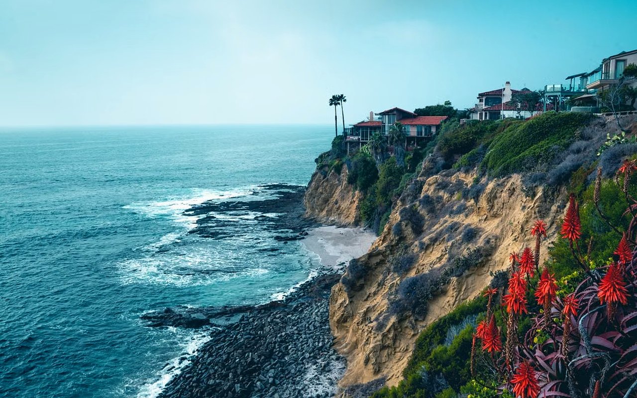
As Voice of San Diego reported, Del Mar City Councilmember Terry Gaasterland said this year, "We're out of vacant land," while talking about a narrow triangle of dirt above Dog Beach known as the North Bluff. The woman who owns most of it, a longtime landholder named Lazier, has spent 25 years trying to build there. The city has opposed nearly every version of her project, even as California requires Del Mar to make room for 113 low-income units by 2029 and the North Bluff sits mostly undeveloped at one unit per acre.
The holdup isn't zoning politics alone. Nobody, including the geologists paid to study the site, agrees on how solid the ground actually is. A consultant hired for a competing development on an adjacent parcel, Seaside Ridge, found the bluff stable enough to build 43 feet back from the edge, a distance geologists called "ample." A geotechnical engineer hired to evaluate Lazier's own site, Dave Colbaugh, came back with a different answer. His study turned up sea caves under the bluff that the earlier report never sampled, caves that could undercut the base and destabilize the whole formation.
That disagreement between two paid experts looking at bluffs a few hundred feet apart is not a fringe detail. It's the same uncertainty that shows up, in quieter form, in every disclosure packet for a bluff-adjacent home in Del Mar.
The Standard Nobody Reconciles
California only requires developers to prove new construction can survive erosion for 75 years. That's the bar Seaside Ridge has to clear to get approved. It has nothing to do with how long the public infrastructure protecting the bluffs nearby is allowed to exist.
The California Coastal Commission's permit for SANDAG's bluff stabilization work caps the seawalls at 30 years, and the agency has to remove the armor entirely once that clock runs out. SANDAG has also committed to moving the rail line off the bluffs altogether by 2035, nine years from now. The same stretch of coastline carries three different official timelines: a 75-year survivability standard for anything newly built, a 30-year legal life for the seawalls holding the existing bluff in place, and a 2035 target for pulling the tracks back from the edge entirely.
The 75-year standard outlasts a 30-year mortgage signed in 2026, while the 2035 target arrives before it is paid off; the seawall permit's 30-year term matches the mortgage. None of these timelines are printed on a listing sheet.
The stabilization project itself has already gotten more expensive since it started. SANDAG's Phase 5 work began with a budget near $78 million when construction kicked off in spring 2024. As of a September 2026 project update, the agency now expects the full cost to run around $88 million, funded through a mix of state, federal, and local sources, for roughly 2,000 feet of new seawall, soldier piles, and drainage improvements along a mile and a half of track between Coast Boulevard and Torrey Pines State Beach.
| Standard | Time horizon | Set by |
|---|---|---|
| New construction erosion survivability | 75 years | State guidance, applied to projects like Seaside Ridge |
| SANDAG seawall permit (Phase 5) | 30 years, then armor removal required | California Coastal Commission |
| Rail relocation off the bluffs | Target of 2035 | SANDAG commitment |
| Typical fixed-rate mortgage signed in 2026 | 30 years | Buyer's own lender |
A buyer closing on a bluff-adjacent home this year could still be paying down that mortgage when the rail relocation target arrives and well before the seawall permit's legal life is up. None of that shows up in a comparable sales report.
What Lenders and Insurers Already Price In
Lenders on bluff-edge parcels commonly require a current geotechnical evaluation before closing, and some will add conditions or decline the loan outright on higher-risk sites. Standard homeowners policies typically exclude gradual land movement and erosion, and a flood policy addresses flood, not bluff retreat, so buyers who assume they're covered often aren't until they read the exclusions closely. Appraisers factor in usable land restrictions too. On a narrow or heavily constrained lot, that adjustment can run significant enough to matter at closing, and the same view that adds a premium can also shrink marketability if the buildable envelope is small.
That's the part a view photo doesn't capture. The premium and the discount sit on the same parcel at the same time, and the split between them depends on documents most buyers don't ask for until an inspector or lender forces the question.
The Disclosure Sequence That Actually Protects You
Del Mar sits entirely inside the Coastal Zone, so coastal development permit requirements matter for work near a bluff. That permit history is public record through the city's building portal, and it's worth pulling before repairs or photography start, not after an offer is written.
On the disclosure side, sellers still have disclosure obligations, and timing can matter. On a bluff parcel, the practical move is to also request historic bluff retreat data, any record of past emergency repair permits, and whether a shoreline protective device already exists on the property along with its maintenance obligations. Past denials for shoreline protection, or a pattern of repeated emergency permits, are the kind of history a title report alone won't surface.
The city closed a stretch of Sea Cliff Park in spring 2025 to give stabilization crews machinery access, with a reopening the city had targeted for mid-2026. It's a small, visible sign of a larger pattern: the work happening along this coastline is not cosmetic, and it isn't finished.
Reading a Bluff Listing With the Right Questions
A home a few lots back from the bluff edge and a home directly on it can carry very different answers to the same questions, even on the same block. Before writing an offer on anything near the bluff line in Del Mar, it's worth asking directly whether the parcel falls inside the current Phase 5 project footprint between Coast Boulevard and Torrey Pines State Beach, whether a site-specific geotechnical report exists and how recent it is, and whether the property or its immediate neighbors have any record of emergency bluff repair. None of those questions come up naturally in a walkthrough. They come up in escrow, usually later than a buyer would like.
A Few Questions Worth Asking Early
Does every Del Mar bluff-adjacent home need its own geotechnical report? Lenders decide case by case, but a current site-specific report is standard practice for anything close enough to the edge that setback or slope stability could be a factor. It's far cheaper to order one before writing an offer than during a financing contingency.
Is the SANDAG stabilization work happening along the entire Del Mar coastline? No. Phase 5 covers a defined stretch, roughly a mile and a half between Coast Boulevard and Torrey Pines State Beach. A property outside that footprint isn't automatically exempt from bluff-related questions, but the construction disruption and seawall proximity are localized to that corridor.
What happens to the seawalls once the 30-year permit runs out? The Coastal Commission's approval requires the armor to be removed at the end of that period. SANDAG's separate commitment to relocate the rail line by 2035 suggests the agency's own long-term plan is to move away from armoring rather than renew it, though that's a stated intention, not a guarantee.
If you're weighing a bluff-adjacent property in Del Mar, on either side of the transaction, Amy Green can walk through the specific permit and disclosure history on that parcel before you write or accept an offer.
This article is general information, not legal, tax or financial advice. Consult a qualified professional about your situation.